
")
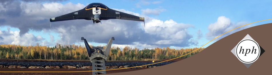

Aerial Photo Flight
We create our own orthophotos and elevation models, which we integrate into our own projects and offer for external use to support your projects.
Depending on the problem and the size of the project, we use classical aerial imaging technology in ultralight aircraft, or we fly with our unmanned aircraft vehicles (UAV): UX5 Trimble aircraft or DJI Phantom Pro quadrocopter.
- Areas of application include:
- supply of highly topical orthophotos or oblique aerial photographs
- fast inventory recording and measurement, even for areas that are difficult to access
- ecological surveys
- monitoring of vegetation development
- creation of current elevation plans, e. g. for volume calculations for raw material deposits or for settlement with lesser detection of individual objects, e.g. maize silages to determine the available biomass for biogas plants
- preservation of evidence
- damage documentation
For further information in English about our fields of work and our company don´t hesitate to contact us.